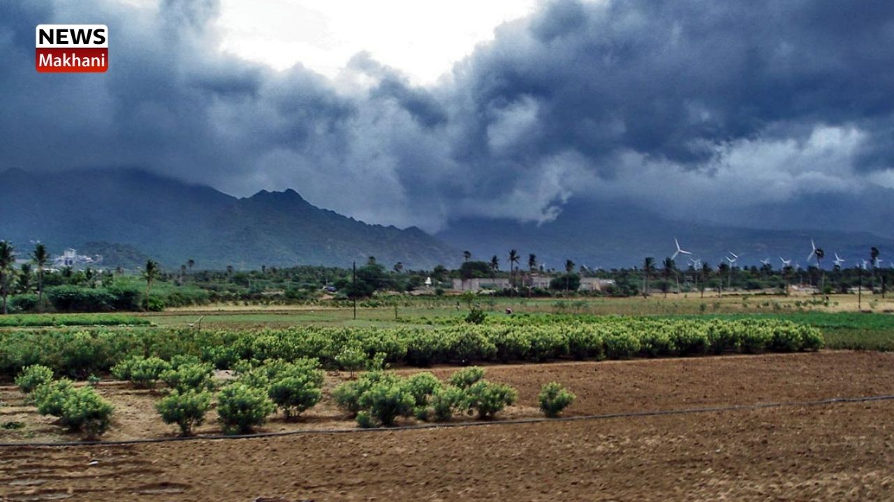
Southwest Monsoon has further advanced into remaining parts of Northwest Bay of Bengal some more parts of Odisha, most parts of West Bengal, some parts of Jharkhand & Bihar
Delhi 12 JUN 2021
According to the National Weather Forecasting Centre of the India Meteorological Department:
Saturday 12 June 2021, MID-DAY: Time of Issue: 1400 hours IST
ALL INDIA WEATHER SUMMARY AND FORECAST BULLETIN
- The Southwest Monsoon has further advanced into remaining parts of Northwest Bay of Bengal some more
parts of Odisha, most parts of West Bengal and some parts of Jharkhand and Bihar. The Northern Limit of Monsoon (NLM) passes through lat. 20.5°N/ Long. 60°E, Diu, Surat,
Nandurbar, Raisen, Damoh, Umaria, Pendra Road, Bolangir, Bhubaneswar, Baripada, Purulia, Dhanbad,
Dharbhanga and Lat. 27°N/85.0°E. Conditions are favourable for further advance of southwest monsoon into some more parts of Madhya Pradesh, remaining parts
Chhattisgarh, Odisha, West Bengal, Jharkhand and Bihar and some parts of east Uttar Pradesh during next 24 hours.
- The Low-Pressure Area now lies over northwest Bay of Bengal and adjoining coastal areas of West Bengal and North Odisha. Associated cyclonic circulation extends upto mid-tropospheric levels tilting southwestwards with height. It is likely to become more marked and move west-northwestwards across Odisha, Jharkhand and North Chhattisgarh during next 2-3 days.
- An east-west trough at lower tropospheric levels runs from south Punjab to center of low-pressure area over Northwest Bay of Bengal and adjoining coastal areas of West Bengal and North Odisha. The east-west trough is very likely to persist during next 3-4 days. In addition, strong southwesterly winds are prevailing along the west coast at lower levels and an off-shore trough lies off the west coast. These conditions are likely to persists during next 4-5 days.
- Under their influence; fairly widespread to widespread rainfall activity with isolated heavy to very heavy falls very likely over Odisha, Chhattisgarh, East Madhya Pradesh, Vidarbha, Telangana during next 3-4 days. Fairly widespread to widespread rainfall with isolated heavy falls over West Bengal & Sikkim, Bihar, Jharkhand, Uttar Pradesh and Uttarakhand during next 4-5 days. Widespread rainfall activity with heavy to very heavy falls over coastal & adjoining Ghats districts of Maharashtra and Goa and Karnataka during next 5 days. Isolated
extremely heavy falls also very likely over Konkan & Goa during 12th to 15th and over Madhya Maharashtra
on 14th & 15th, June, 2021.Isolated heavy rainfall over Kerala during 12th to 15th.
- Moderate to severe thunderstorms are likely over Odisha, Jharkhand, Bihar, Chhattisgarh, Uttar Pradesh,
Punjab, Haryana, Northwest Indian Himalayas and will be accompanied by frequent cloud to ground lightning and
strong gusty winds during next 4-5 days.
This may cause injuries leading to casualties to people and animals working outdoors.
(Please CLICK HERE for details (Detailed story) & graphics forecast)
Kindly download MAUSAM APP for location specific forecast & warning, MEGHDOOT APP for
Agromet advisory and DAMINI APP for Lightning Warning & visit state MC/RMC
websites for district wise warning.

 हिंदी
हिंदी


